NEW Track any specific flight, live, on your display — free on every unit
Handmade in the UK  🇬🇧

The sky above you,
live on your shelf.

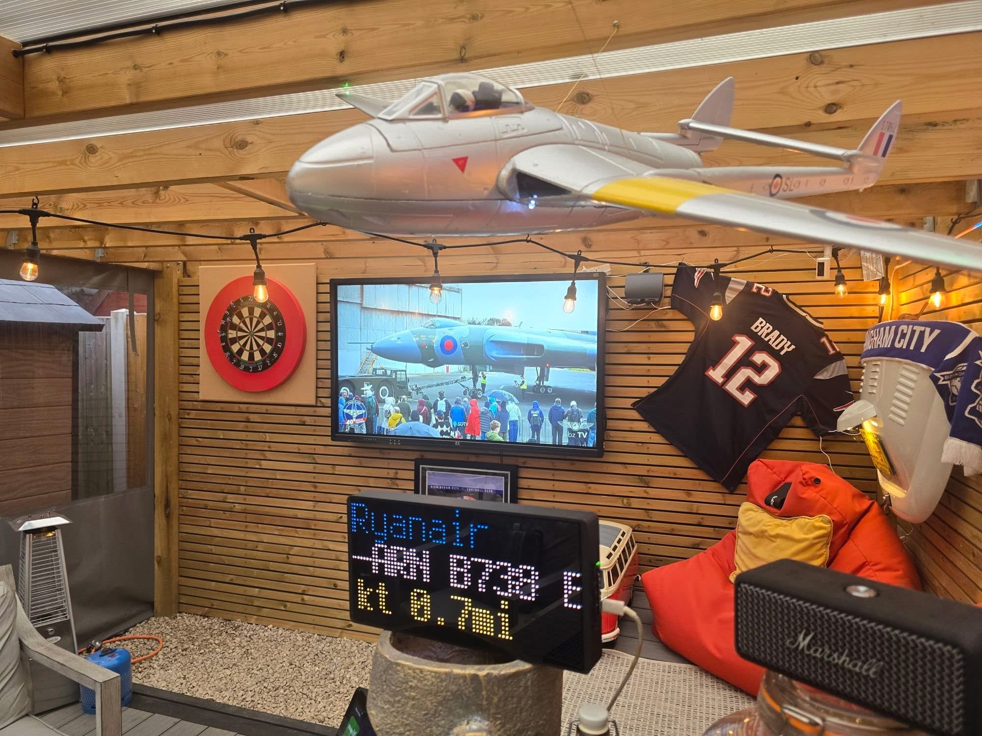
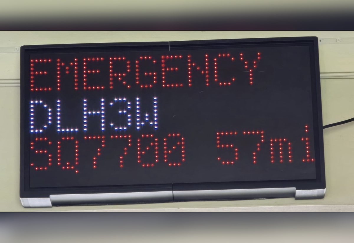
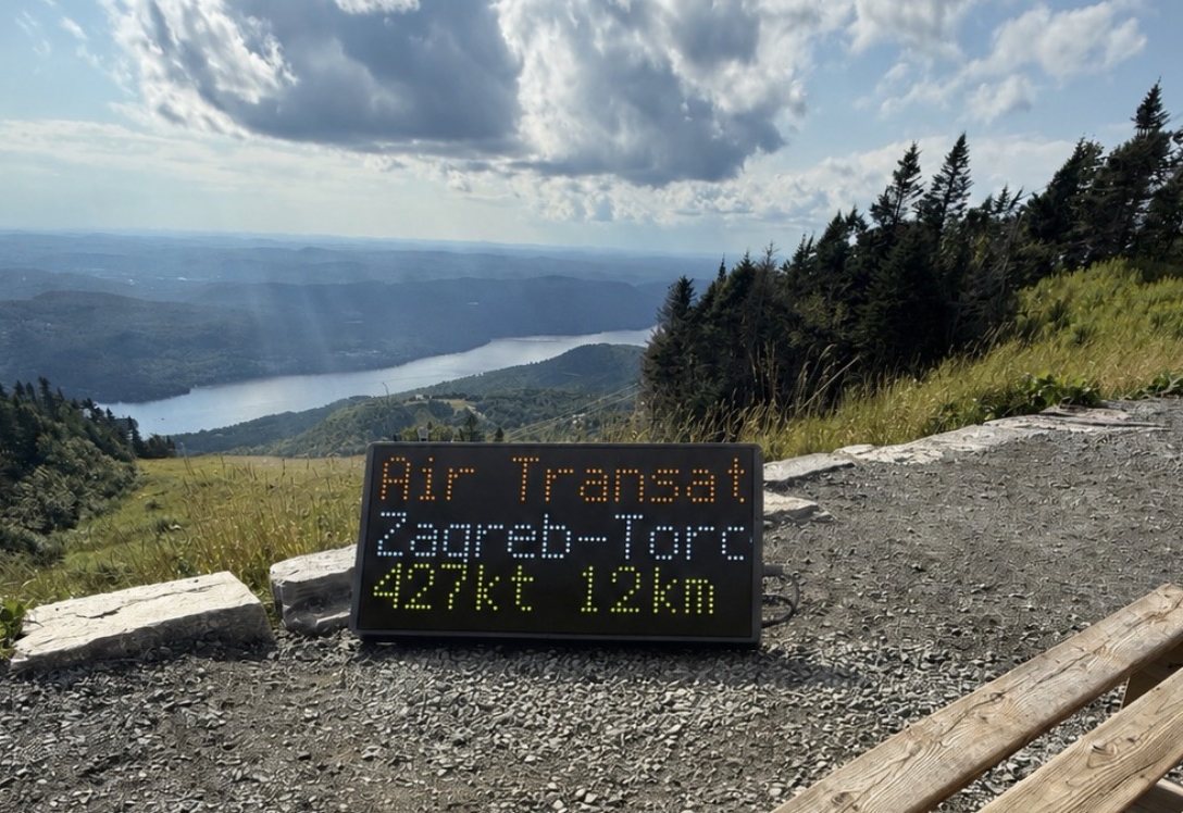
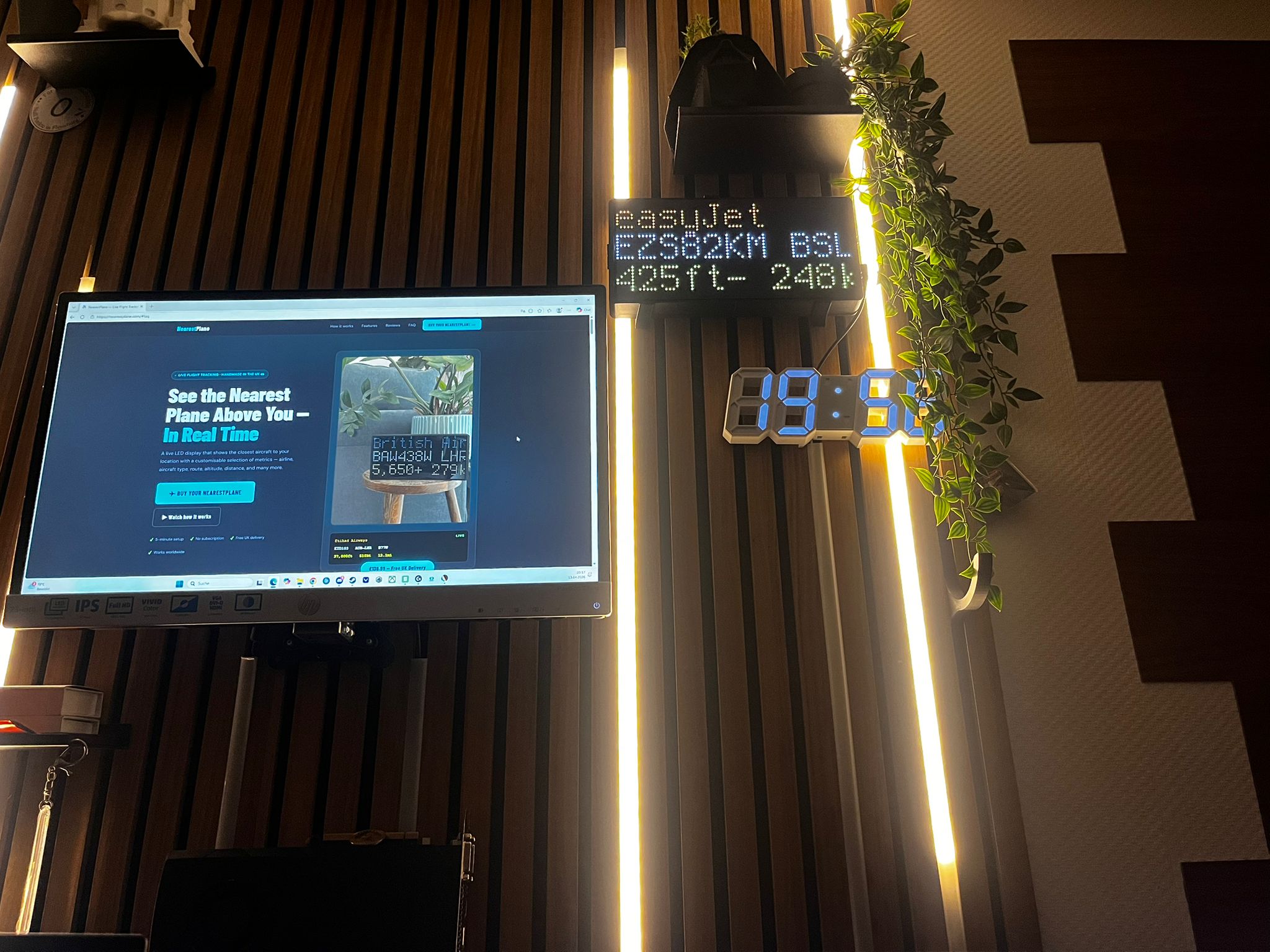
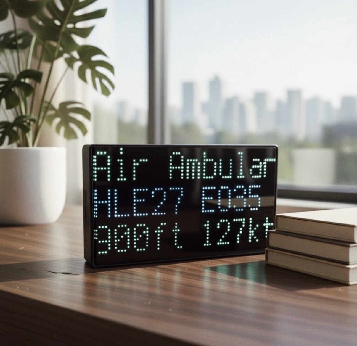
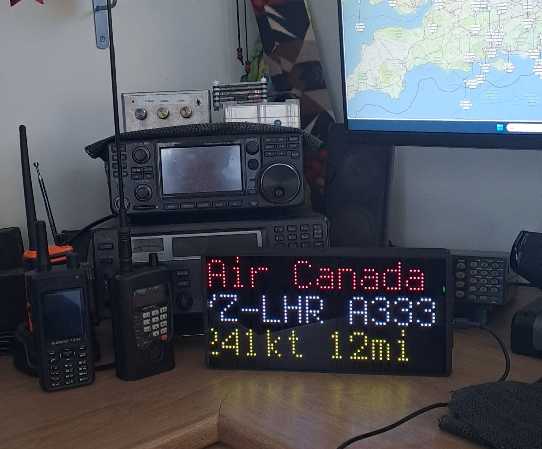
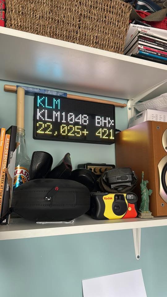
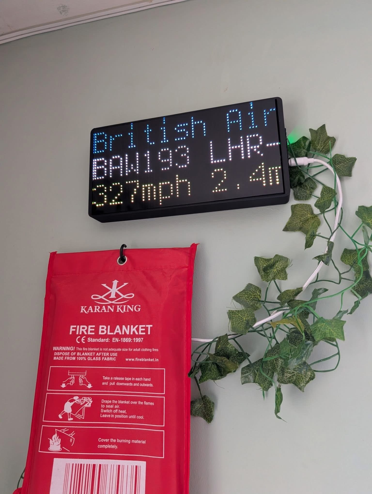
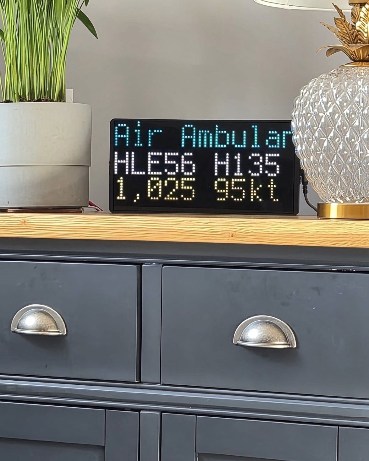
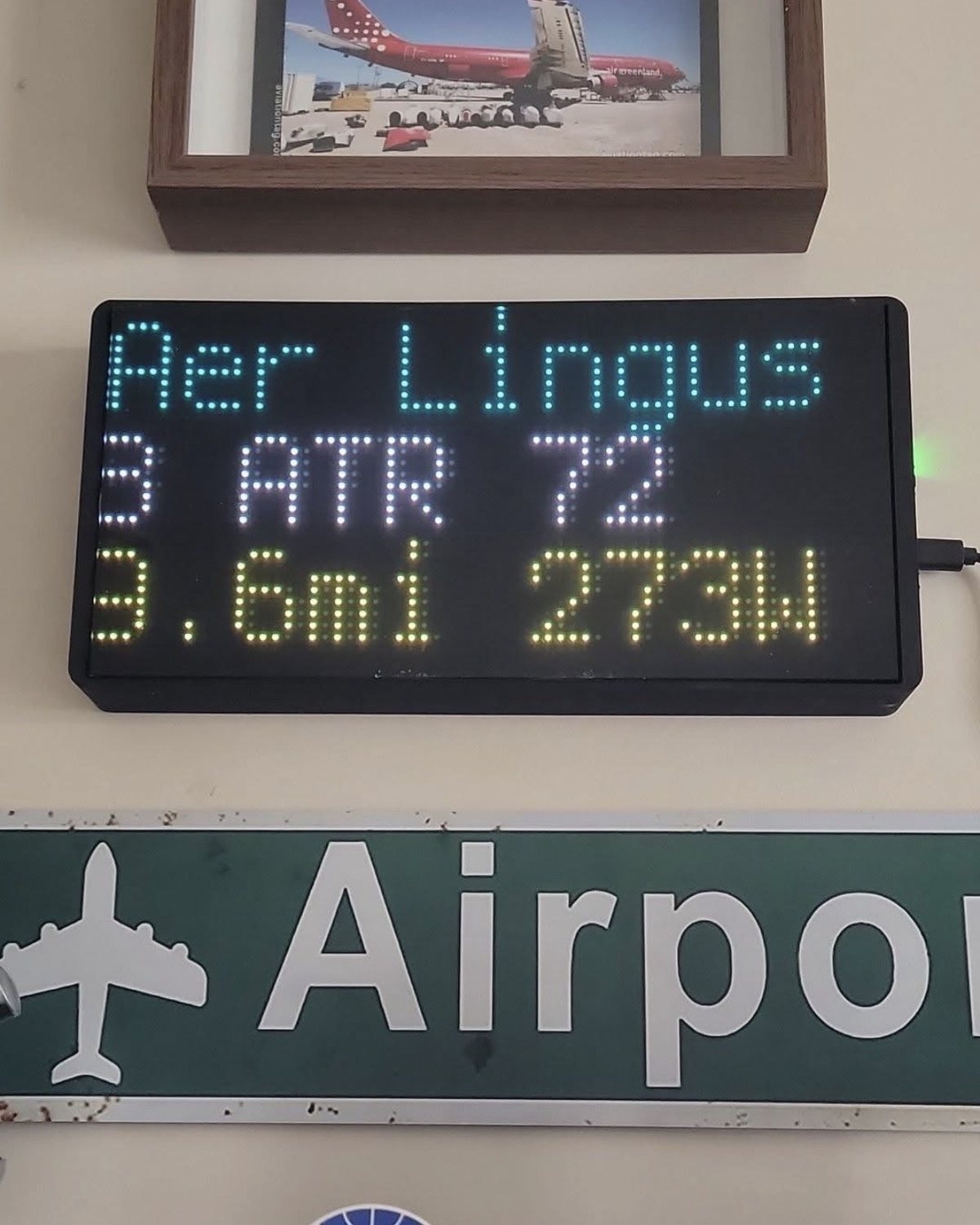
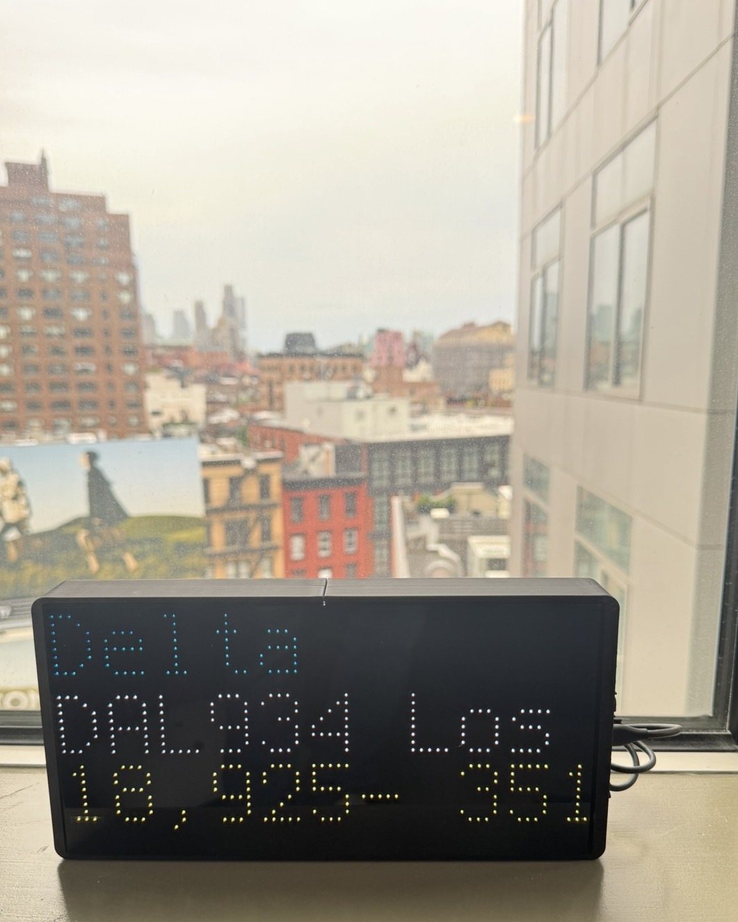
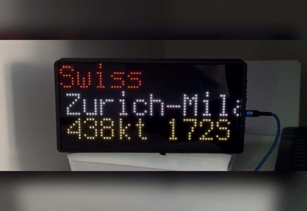
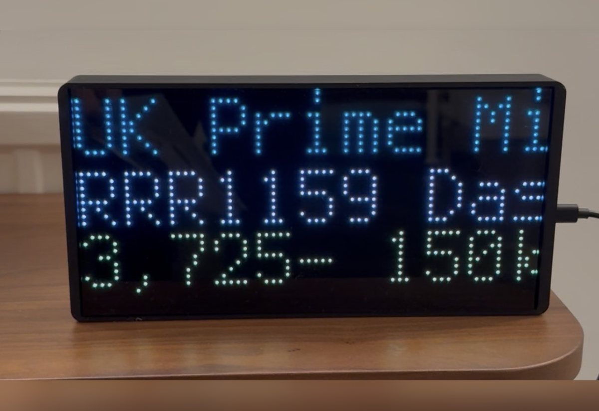
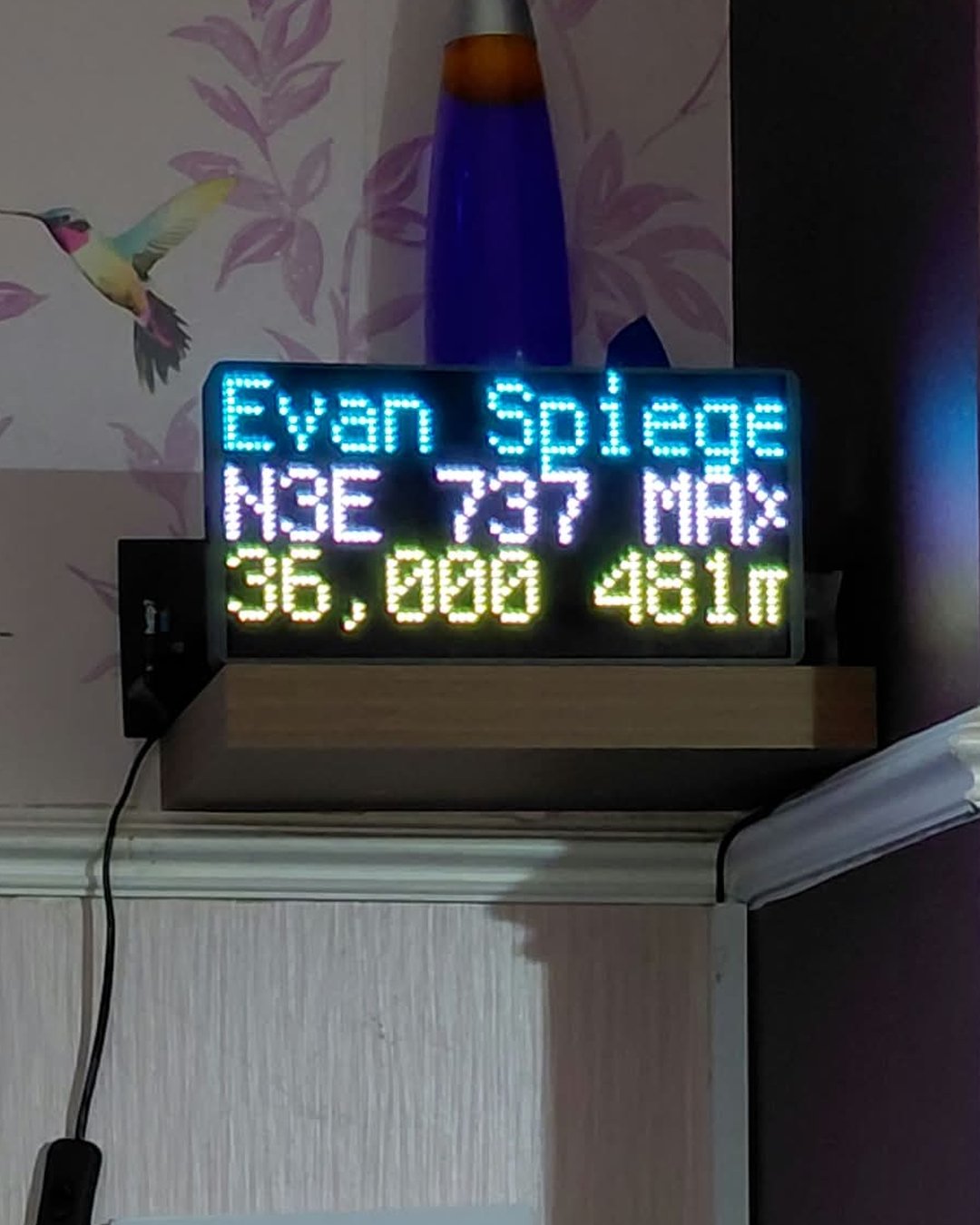
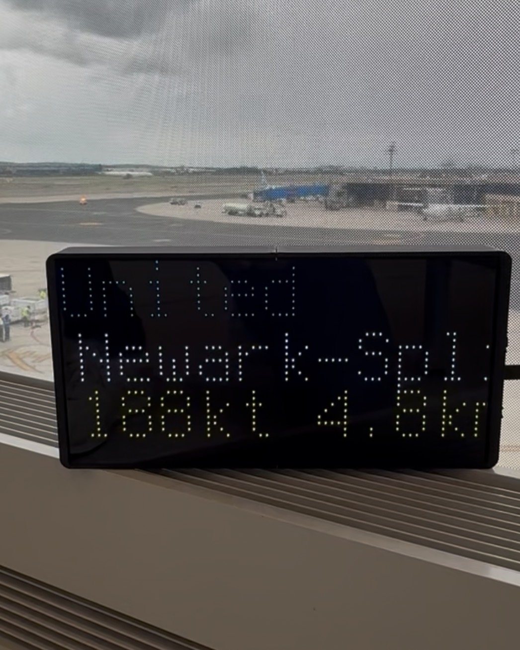
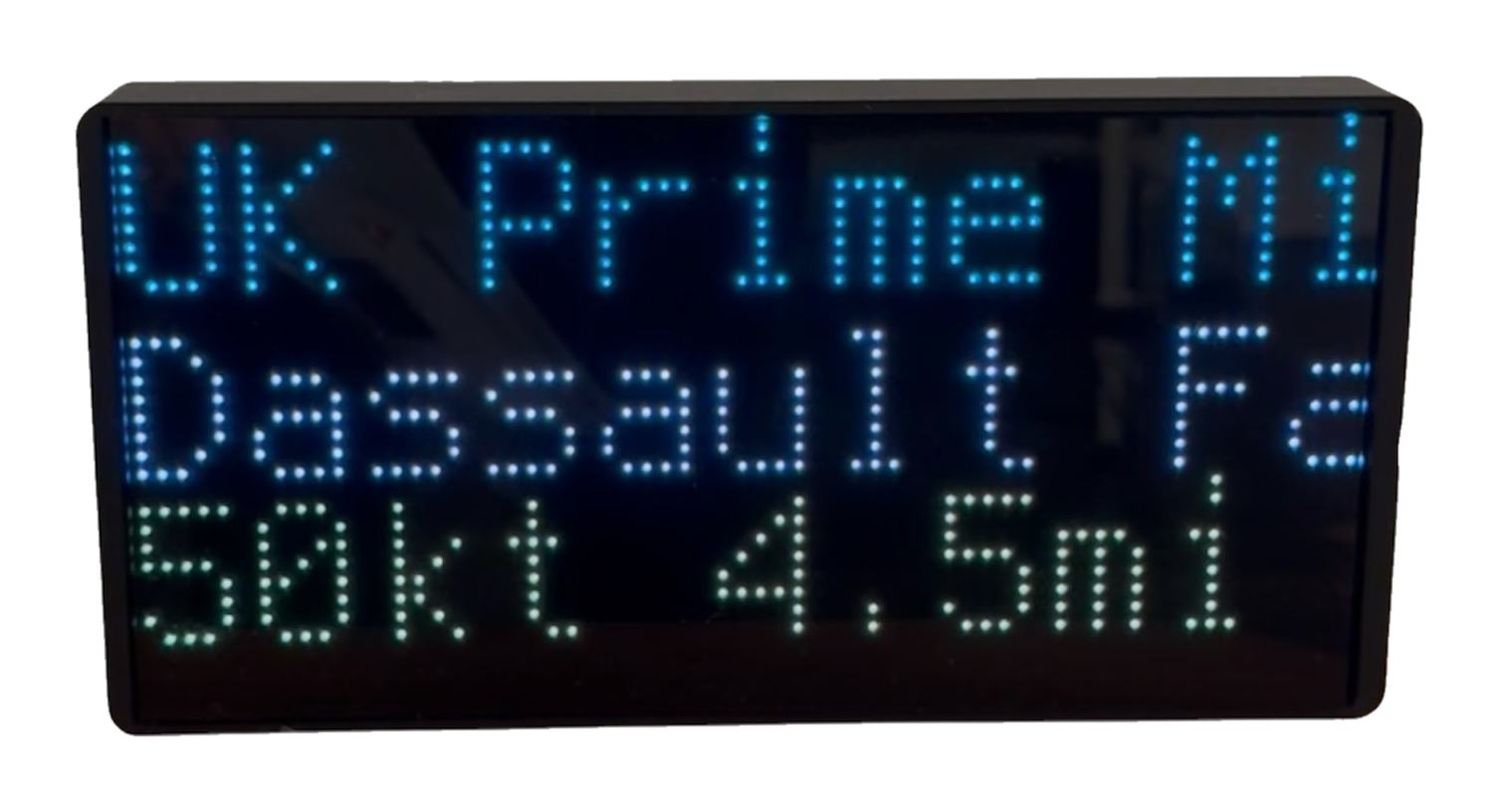
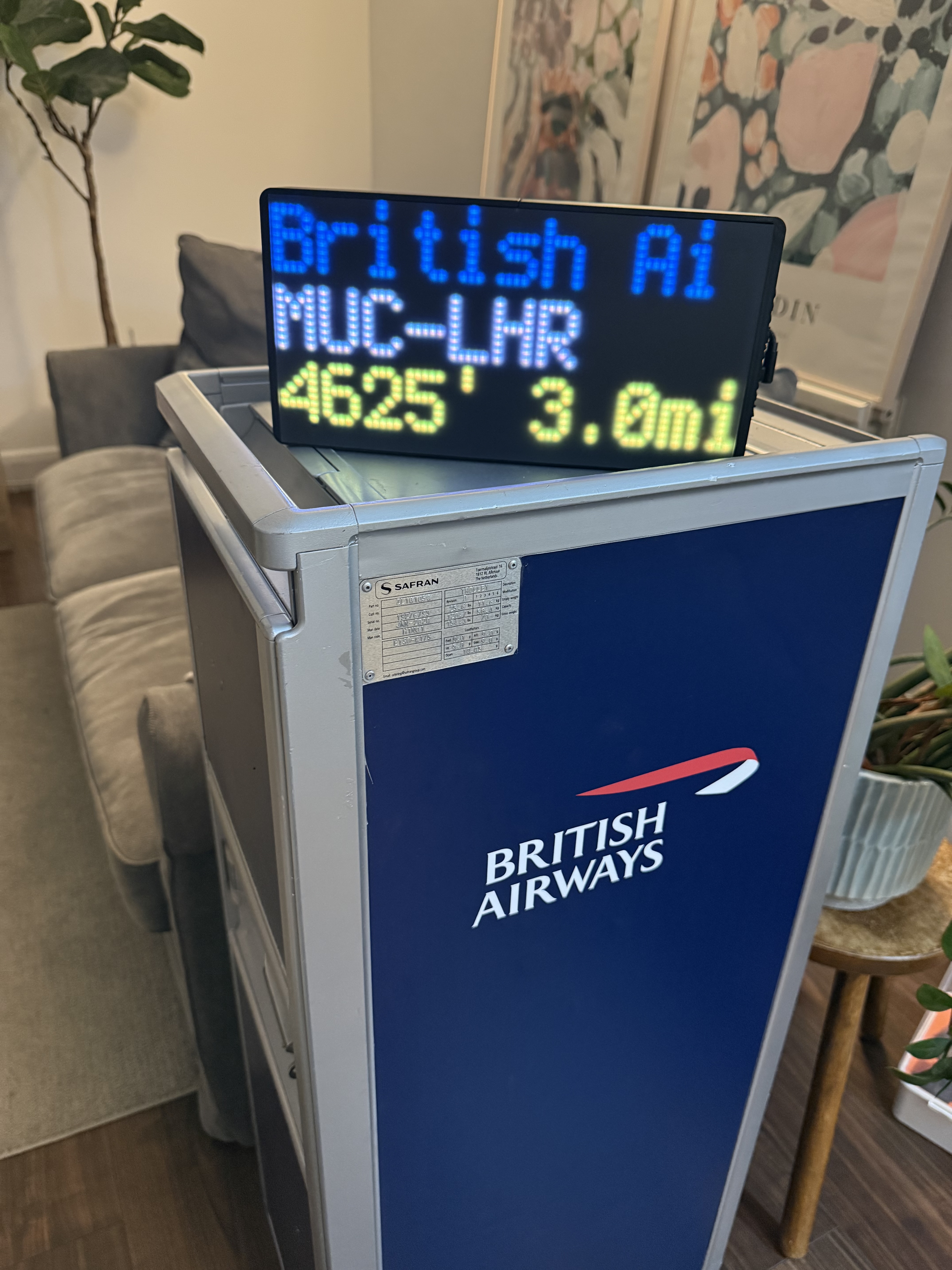
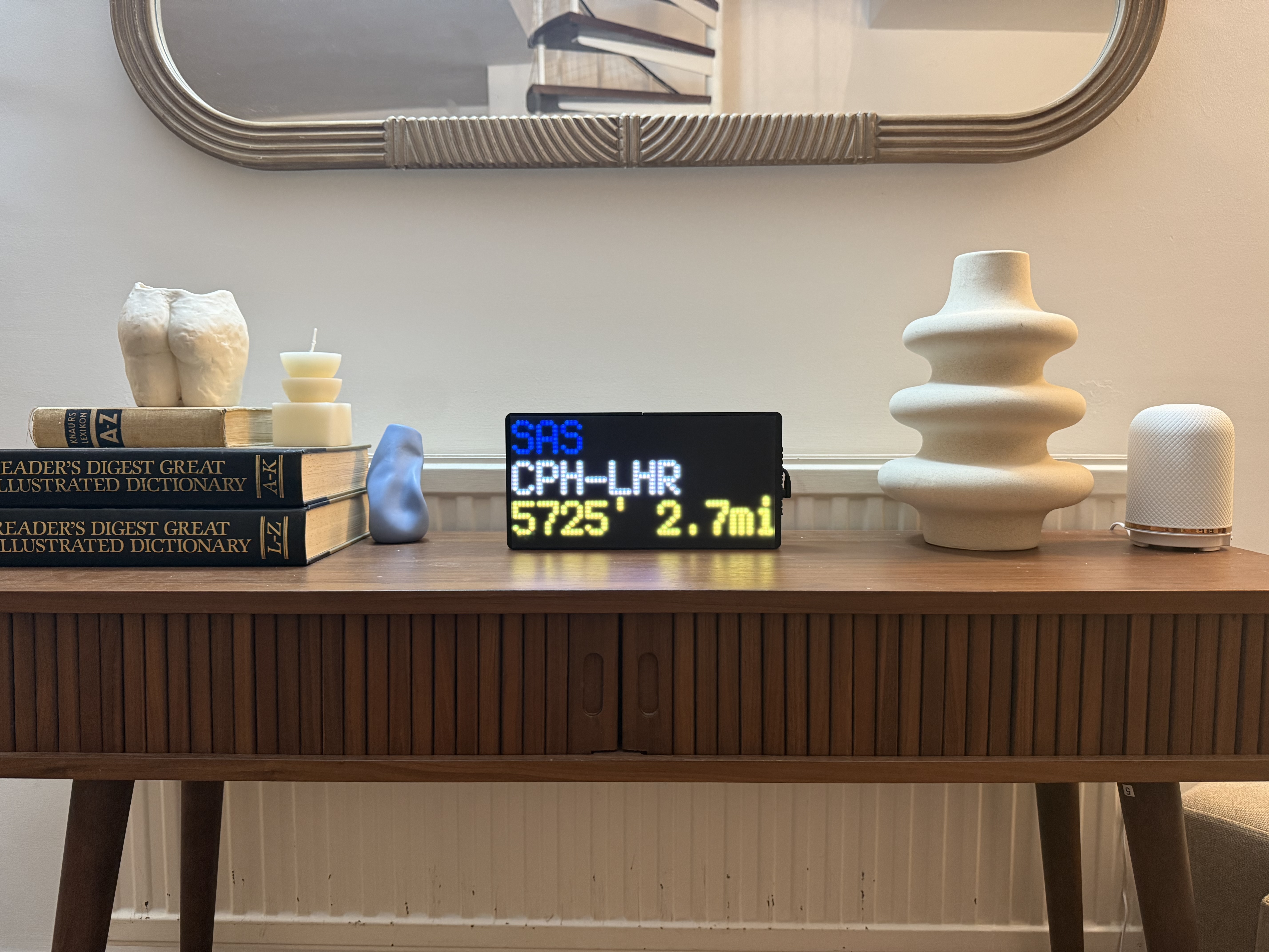
A WiFi-connected LED display that shows the nearest aircraft in real time — the airline glowing in its exact brand colour, with route, altitude and speed. No app. No subscription. Plug in and watch.

£139.99 £124.99 NEW LOW PRICE
✈ Order Now — £124.99
🇬🇧 UK delivery free · 🇪🇺 Europe £9.99 · 🌏 Worldwide £24.99
5-minute setup · No app or account needed
No subscription · Pay once, works forever
Personal support from Harry via WhatsApp
BRITISH AIRWAYS
BA117  LHR→JFK  B777
35,000FT  490KT  8.2MI
NearestPlane LIVE

This is a live simulation of the real display — every airline appears in its own brand colour.

🎬hero-loop.mp4Upload hero-loop.mp4 + hero-poster.jpg to /images/
The real thing
🇬🇧 Handmade in the UK
✈️ ~6,000 airlines built in
🌍 Ships to 50+ countries
🔄 Updates every 30 seconds
5-min setup
💳 No subscription
Try it right here

Make it yours

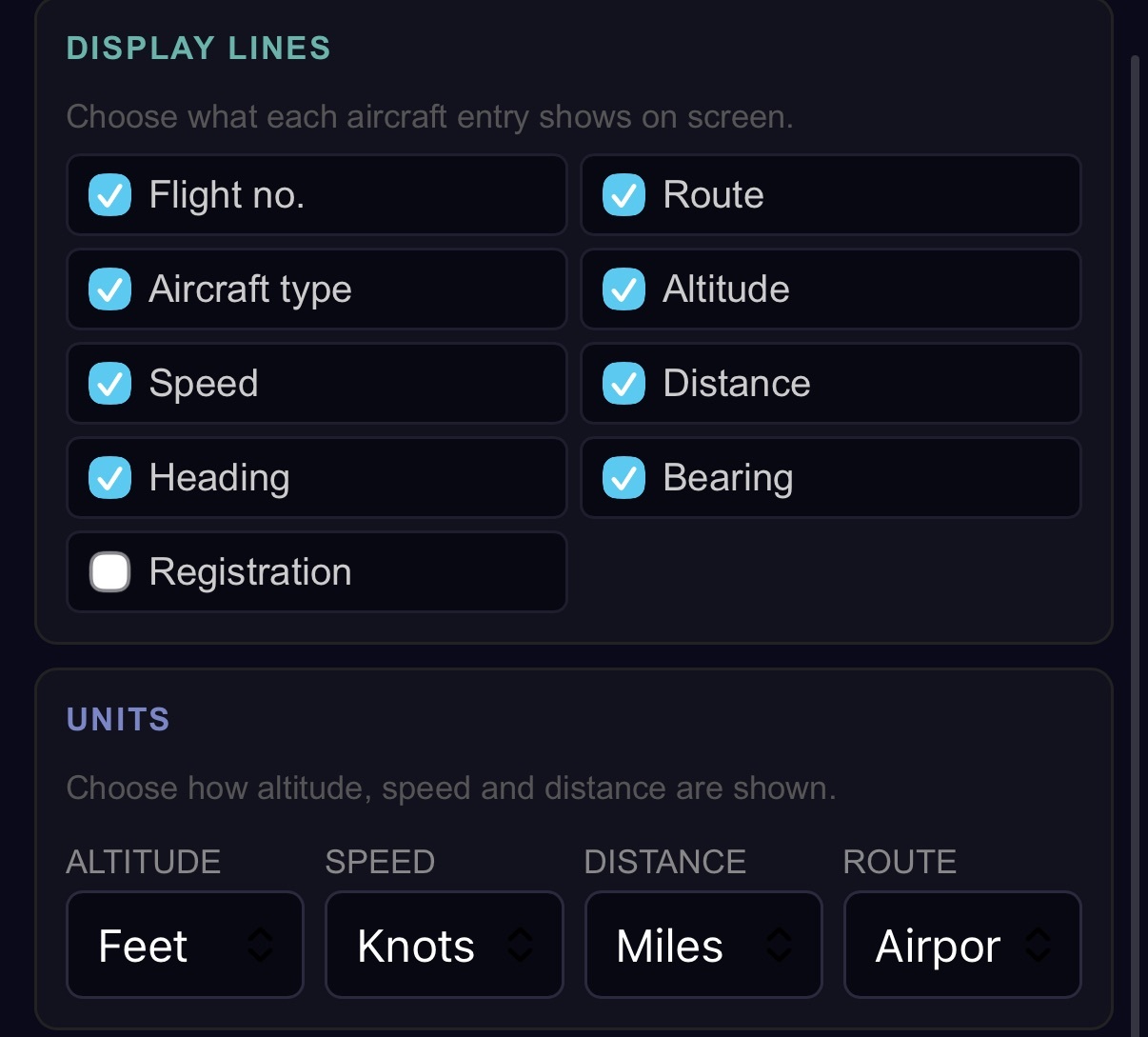
These are the real options on every NearestPlane. Flip them below and watch the display change — exactly what happens on your device, from your phone, any time.

Routes — codes or full city names
Your units
Display lines — choose what each flight shows
Aircraft types — what should it watch for?
Scan radius
25 mi
Night mode
Turn the display off at night, wake with the sun
BRITISH AIRWAYS
BA117  LHR→JFK  B777
35,000FT  490KT  8.2MI
NearestPlane LIVE
Scanning 25 miles around your home Your settings, applied in ~1 minute
✨ New — free on every unit

Track any flight,
anywhere, live

Waiting for someone to land? Following a loved one's journey home? Point your NearestPlane at any flight in the world and watch it the whole way — route, altitude, speed, miles to go, and exactly when it arrives.

1
Enter the flight
Go to nearestplane.com/tracking and type a flight number — say BA249.
2
Your display switches over
Within a minute it leaves your local skies and locks onto that flight, wherever it is on Earth.
3
Watch it all the way home
A progress bar fills as it flies. When it lands, your NearestPlane returns to normal on its own.
UAL900
LHR  ✈  SFO
In the air
3,120 mi
To go
13:14
Arrives
36,000 ft
Altitude
561 mph
Speed
Live on your own NearestPlane — no extra hardware, no subscription.
NearestPlane tracking a specific flight with progress bar
🎬tracking.gifGIF: the device in tracking mode — progress bar ticking along a long-haul flight
GIF · Tracking mode on the device
~6,000 airlines

Every airline,
in its own colour

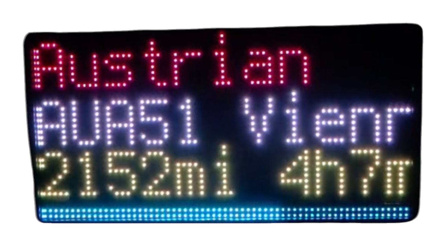
easyJet glows orange. BA glows blue. Etihad glows gold. Whatever flies over, its name appears in its real brand colour — nearly 6,000 airlines built in and updated automatically.

+ thousands more — updated over the air, free, forever.

Routes shown as full city names scrolling
🎬cities.gifGIF: 'London → New York' scrolling as city names, then the same flight as LHR→JFK
GIF · City names scrolling
Readable by everyone

Airport codes for avgeeks.
City names for everyone else.

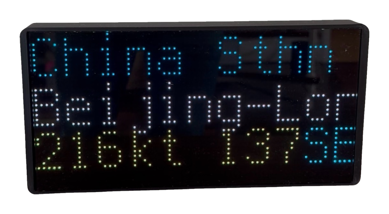
You know what LHR→JFK means. Your family might not. Flip one setting and every route reads as London → New York instead — long names scroll smoothly across the display.

Codes or cities — switch any time from your phone
Smooth scrolling for long city pairs
Works for every airport worldwide
Display showing metric units
📸units.jpgPhoto: display showing metres + km/h — great for EU customers
Your units

Feet or metres.
Knots, mph or km/h.

Pilots want knots and feet. Most people want mph or km/h. NearestPlane speaks both — altitude, speed and distance each in whatever unit you actually think in.

Altitude in feet or metres
Speed in knots, mph or km/h
Distance in miles or kilometres
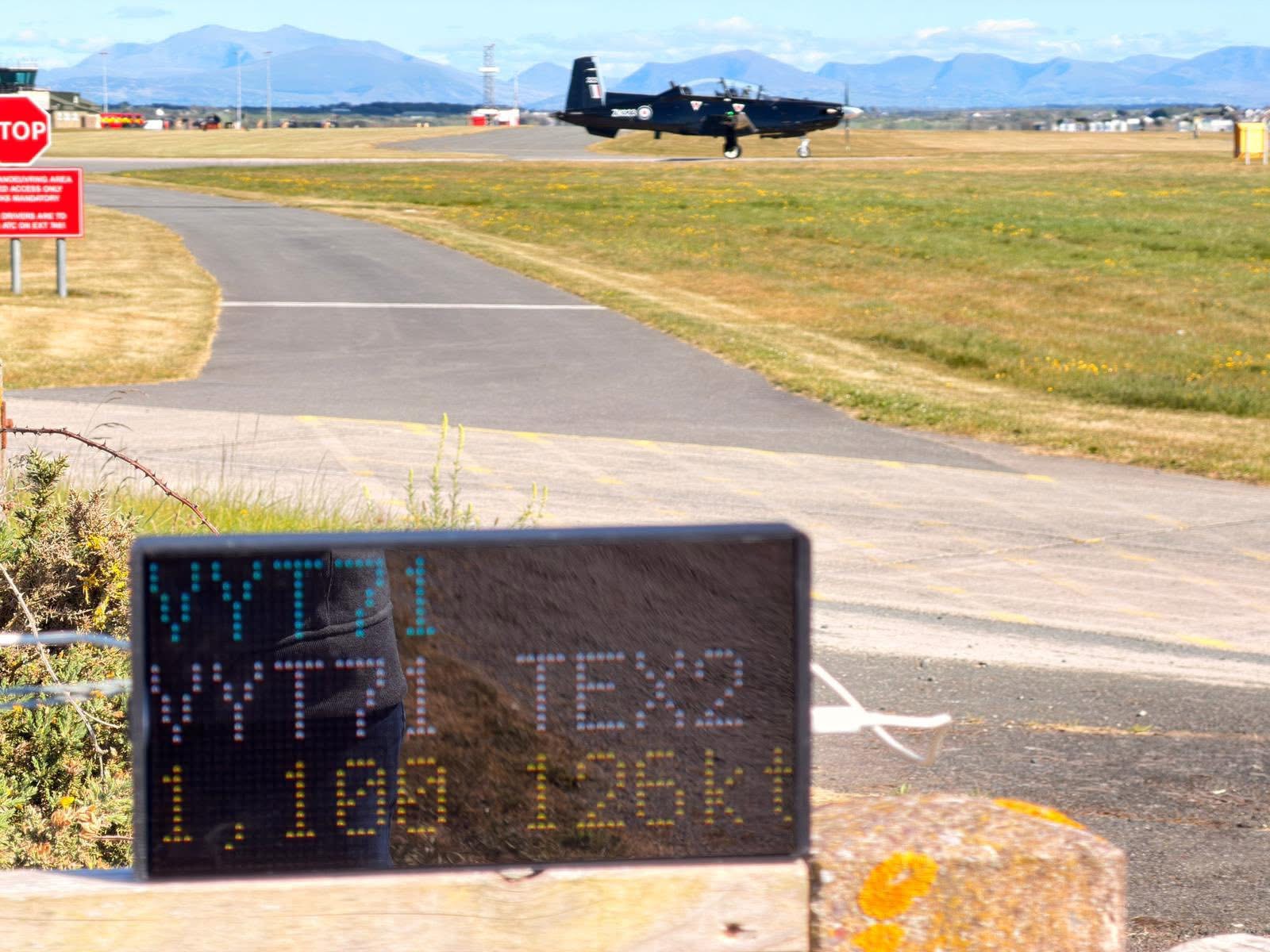
NearestPlane showing a military aircraft
📸military.jpgPhoto: display showing a military callsign / Typhoon or police heli
More than airlines

Military, police &
helicopters too

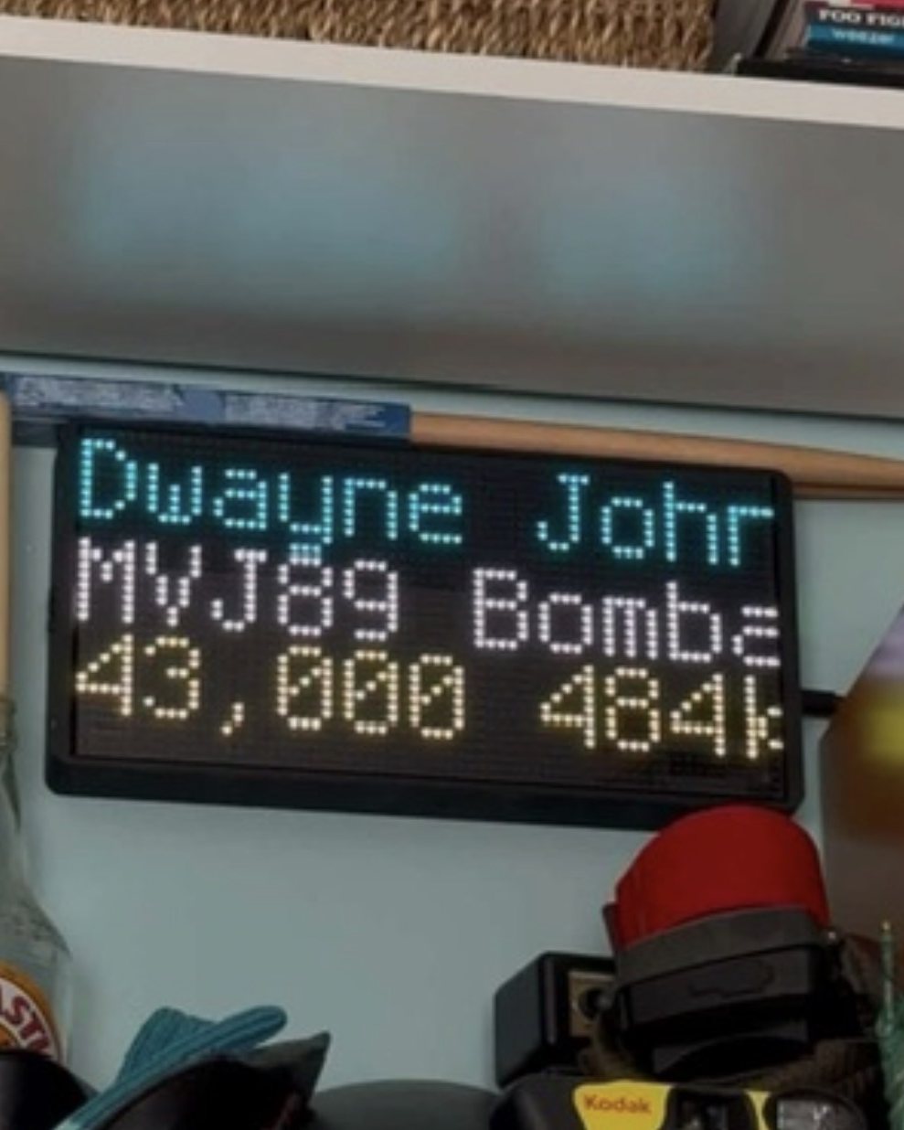
Track commercial flights, military fast jets and transports, police and coastguard helicopters, air ambulances, and general aviation — each category on or off with one tap.

Military callsigns recognised by name — Typhoon, A400M, F-35
Police, HEMS & coastguard helicopters
Filter to exactly what matters to you
Setup

Up and running in 5 minutes

No app. No account. No subscription. Plug in, connect once, watch forever.

Plugging in the USB-C cable
📸setup-plug.jpgHand plugging USB-C into the device
STEP 01

Plug in

Connect the included USB-C cable to any 5V power source — a phone charger, USB plug, or laptop. Lights up instantly.

Connecting via phone hotspot setup page
📸setup-phone.jpgPhone showing the setup page in front of the device
STEP 02

Connect to WiFi

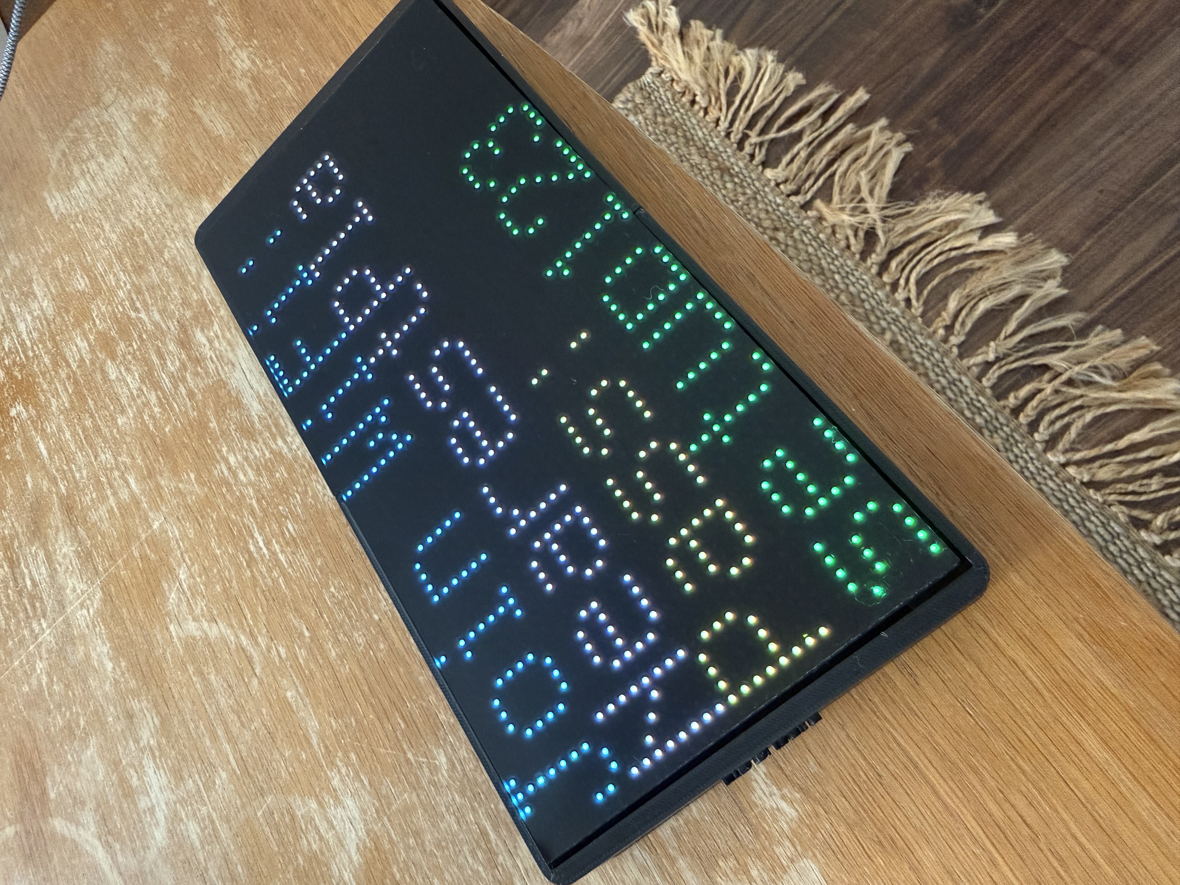
Join the "NearestPlane" hotspot from your phone, open 192.168.4.1, enter your location and home WiFi. Done.

First flight appearing on the display
🎬setup-first.gifGIF: the very first flight fading in after setup — the reveal moment
STEP 03

Watch the skies

Within 30 seconds the nearest aircraft appears — airline glowing in its brand colour, with route, altitude and speed. Updates forever.

Size & specs

Compact. Shelf-ready.

About the size of a hardback book — this flight tracker board sits neatly on a windowsill, desk, or bookshelf, powered by any phone charger. Think of it as a live flight tracker screen for the home: no app to open, no phone to check, just an always-on panel.

NearestPlane LED flight tracker board size comparison next to a book
📸size1.jpgExisting size shot
NearestPlane flight tracker display on a shelf at home
📸size2.jpgExisting context shot
27cm
Width
13.5cm
Height
3.5cm
Depth
Display64 × 32 RGB LED matrix
Connectivity2.4GHz WiFi
PowerUSB-C, 5V — any phone charger
RefreshEvery 30 seconds
Scan radius5–50 miles, adjustable
UpdatesFree, over the air, forever
Loved worldwide

As seen on Instagram

1,000+
Units flying
50+
Countries
Star Seller
On Etsy
Captain Chris · @captainchris · 500k followers
Nicky Kelvin · The Points Guy
NearestPlane · @nearestplane
In the box

What's included

NearestPlane display unit in protective case
USB-C power cable
Printed quick-start setup guide
NFC tag with support contact
Free firmware updates over the air, forever
Personal support from Harry via WhatsApp
FAQ

Common questions

Does it work worldwide?+
Yes — set any location in the world during setup. Works whether you're in the UK, Europe, North America, Australia, or anywhere else with commercial air traffic.
Can I track a specific flight?+
Yes! Go to nearestplane.com/tracking, enter your WiFi network name and a flight number (like BA249), and your display follows that flight live — anywhere in the world — showing its route, altitude, speed, distance to go and time to landing, with a progress bar. It returns to your local skies automatically when the flight lands, or press the top button to stop any time. It's a free feature on every NearestPlane.
Does it require a subscription?+
No — there's no subscription, ever. Pay once for the hardware and that's it. It works as long as it has power and a WiFi connection.
Can I change what's displayed after setup?+
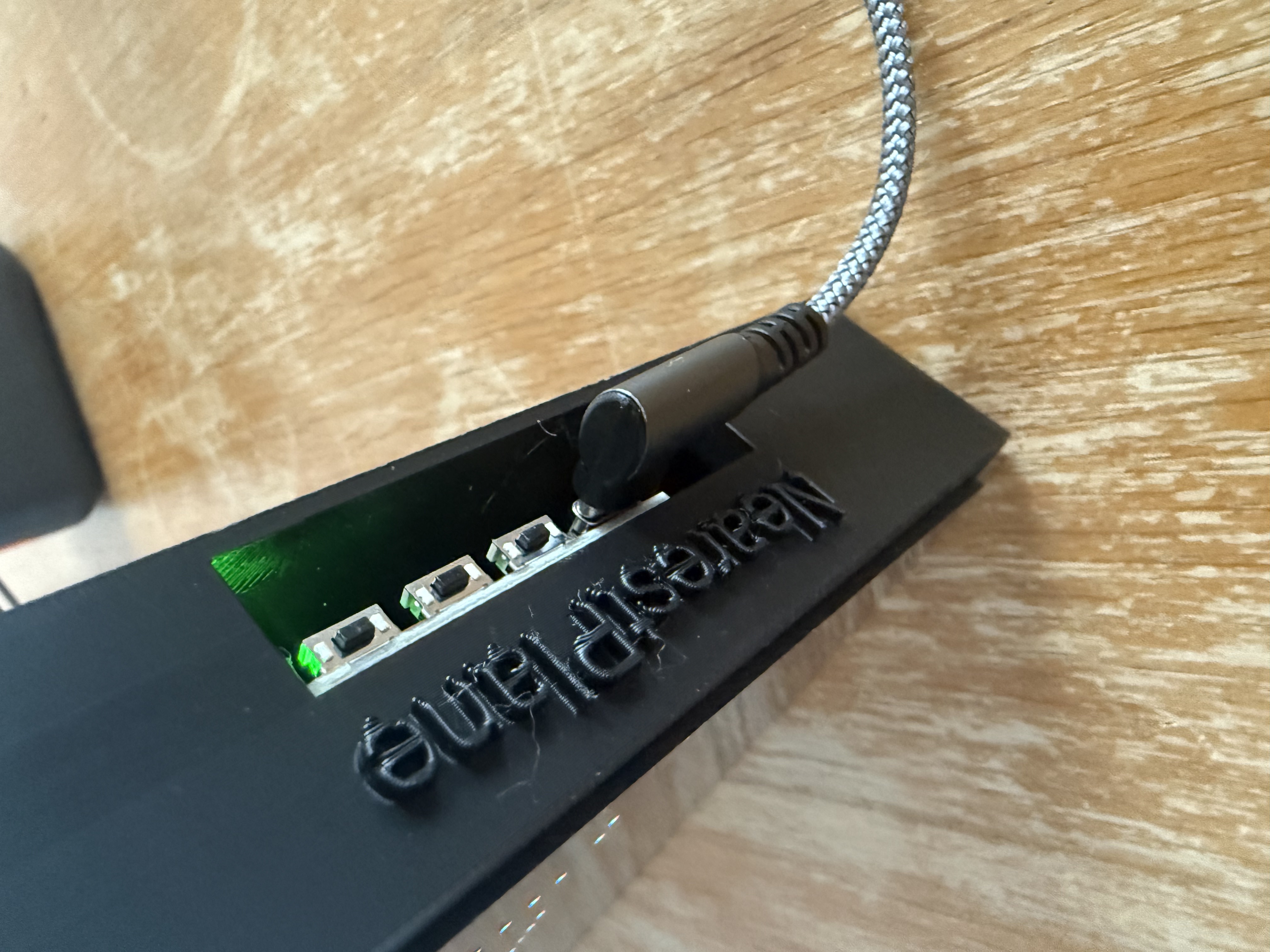
Yes — everything you tried in the "Make it yours" section above is real. Visit nearestplane.com/settings on your phone to change display lines, units, city names, aircraft filters, scan radius and night mode any time. Changes reach your device within about a minute. You can also hold the two front buttons for 3 seconds to re-enter setup mode.
How accurate is the data?+
Very accurate. Data comes from the global ADS-B network, aggregating transponder signals from thousands of receivers worldwide. Updates every 30 seconds.
How difficult is setup?+
Very easy. Plug in, connect your phone to the NearestPlane hotspot, open 192.168.4.1 in your browser, enter your location and WiFi password. Most customers are up and running in under 5 minutes.
Does it track military aircraft?+
The standard NearestPlane can pick up military aircraft that broadcast ADS-B, and recognises hundreds of military callsigns by name. For a dedicated military variant get in touch with Harry on WhatsApp.
What if there are no planes nearby?+
The display shows "No aircraft in range." You can adjust the search radius from 5 to 50 miles in settings.

Ready to see
what's flying?

£139.99£124.99NEW LOW PRICE

Free UK delivery · Made to order

✈ Order Now — £124.99
🔨 Handmade in small batches 🇬🇧 Ships from the UK 📦 Packed & tested by Harry
Already own a NearestPlane?
Settings, flight tracking, help and support — everything in one place.
🛩️ Manage your device →